Chedworth Roman Villa to North Cerney – Friday 25 November 2016
Three months
have passed since we were at Chedworth RV in the summer. It’s been a busy time
for some of us and combinations of work commitments, family duties and poor
weather had reduced our options to walk. Getting back to where we left off last
time involved quite a journey, train to Swindon, bus to Cirencester and then
taxi to Chedworth Villa. By the time we started walking it was 11:50 therefore
this short stage was really a afternoon stroll!
 |
| A Cotswold view near Chedworth |
Oh joy here
we are back at Swindon Bus Station. Something has changed though. The large,
dark grey, building in the middle has been demolished letting a bit more
sunshine fall upon the bus travelling public. The bus to Cirencester via
Cricklade and many villages on the way was surprisingly busy. We eventually
rocked-up in Cirencester and found a taxi in the market place. The taxi driver
briefed us on progress of the market place road works, traffic problems on the
road to Stow-on-the-Wold and then on his recent holiday in Hong Kong. (“Ten
pound a pint, you know.”)
The weather
looked promising, sunny but a cool wind from the north-east. The path took us
up the hill away from the villa into the woods that surround the head of this
secluded valley. We went under the line of a disused railway which seemed quite
wide, not the normal single track rural line. Job for when we get back, find
out what the line used to be.
Our research
found that this was the line of the Midland and South Western Junction Railway
(M&SWJR) from Andoversford on the Chipping Norton to Cheltenham line to
Andover via Cricklade, Cirencester, Swindon and Marlborough. This line offered
a link from the Midlands to Southampton. Just think what it would be like if it
hadn't closed. The problems of the lack of capacity on the Didcot to Banbury
and the Oxford bottle neck would be long-gone. (Sorry railway nerd stuff).
 |
| Chedworth church |
Over the hill
and down another valley into the village of Chedworth. We stopped outside the
church to take a picture. Like many of these Cotswold villages it was all very
quiet, the odd “white van” parked up undertaking domestic maintenance to wood
burning stoves and Aga cookers in time for Christmas? The only person we saw
was a lady slowly cycling along with an eclectic collection of items in her
cycle basket. Where was she going? Was it a secret tryst or a lunchtime
yoga-in-the-village session? Whoever she was seeing they obviously weren't in
as about five minutes later she returned heading back the way she had come. There was an
interesting looking pub in the village, “The Seven Tuns” but it was too early
into our walk to stop so we carried on up a short hill and across the fields
towards Rendcomb.
 |
| Near the site of RFC Rendcomb |
It was about
1pm so we found a sunny sheltered spot by a hedgerow to have our respective
lunch snacks. After the short stop and a time to chat and catch-up on three
months worth of family news we set off towards the village of Rendcomb. Walking
down a lane we were stopped by a motorist who was looking for the site of the
World War I airfield RFC Rendcomb (Royal Flying Corps). We had seen mention of
this in the book and T, who had a map handy sent the chap on his way. It was
only later plotting the walk on Google Earth that T realised he had sent the
chap the wrong way. He should have turned right at the end of the lane not left
as misdirected!
 |
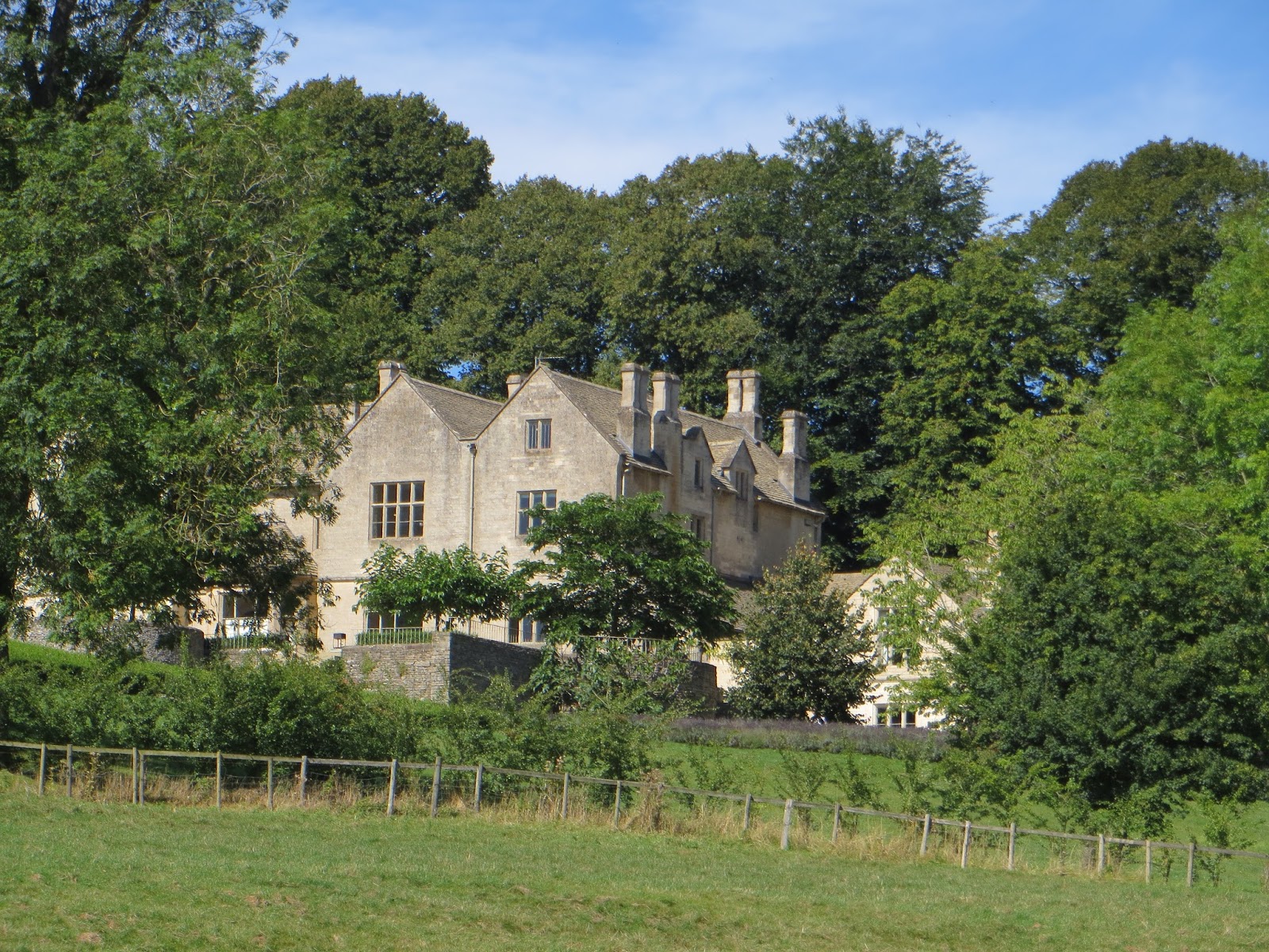
| Rendcomb village |
Our path
turned off the lane above the village to head through woods above the village
of Rendcomb and its private school (college) with interesting European style
buildings. We were now on the diversion to Cirencester following the Monarch's
Way. Our later studies revealed that the Monarch's Way is supposed to be the
615 mile route taken by Charles II when he fled from the Battle of Worcester
and made his way to the south coast to escape to France. It wasn't a direct
route and his first departure point at Charmouth was a failure. T was sure
there was a story about the wife of the ship's master hiding his britches so he
couldn't sail the escaping Royal party to France – probably some sort of myth.
The path through
the woods skirted a field of a strange tall yellow-orange crop that had us
mystified. We guessed it was some sort of bio-fuel crop, probably Miscanthus
(Elephant grass), but who knows. Bet it wasn't there when Charles II passed by!
 |
| Trees above Rendcomb |
The shadows
were getting longer and it was fairly clear we weren't going to get to
Cirencester before dark. We therefore decided to make it to North Cerney have a
drink and catch the Stagecoach 51 bus back to Swindon.
The Bathurst
Arms pub in North Cerney looked inviting, we rated it 7 out of 10. Our sort of
pub, no carpet to get muddy! It was warm, the beer was interesting (Otter Beer
– quite bitter) and everyone seemed to be friendly. There was an adjacent hotel
and as is usual in these places the pub did food. It was half-past two and the
last of the lunchtime eaters were just leaving. After a drink, loo visit and
warm up we went outside to wait for the bus. It was nearly 30 minutes late. The
journey back to Swindon took an hour and a half. So plenty of time to plan the
next leg and agree that we will start in Cirencester next time (early 2017?)Trains out of
Swindon towards London were also delayed due to “vandalism” but the delay wasn't too bad. We
said our farewells and headed to respective homes.
An afternoon ramble of 4.9 miles, more time spent travelling than walking but overall it was good to get out into the Cotswold countryside. We were lucky with the weather and the walking wasn't too hard. Perhaps it has to be O-day, Old railway line, Old airfield, and “Oh dear, we didn't walk that far!”