Cold Ashton to Chedworth Roman Villa – Friday 26 August 2016
We always
knew that this section of the pathway would present us with difficulties in
getting to and from the beginning and end of the walk. The response we had from
Pulham’s Coaches was hardly helpful. In simple terms they do not intend to stop
anywhere except at the principal towns on their routes. They claim that other
websites may suggest that their buses stop at intermediate stops but that is
not their fault and they are making moves to correct this. They don’t appear to
have done anything about this as so far and the unwary bus user is probably
still left waiting for buses that zoom by.
 |
| Countryside between Cold Aston & Turkdean |
As a
consequence we decided to avoid this unhelpful company and drove to Chedworth
Roman Villa (National Trust), (see https://www.nationaltrust.org.uk/chedworth-roman-villa) and then arranged for a taxi from
Cirencester to take us to Cold Aston to start the walk. This all worked well, T
drove from Reading, picked up P on the way and then they met N in Carterton,
who had taken the S2 bus from Oxford. N had already found the pie shop by the
time he reached the ASDA car park in Carterton as he greeted us - hot pasty in
hand. So here we are in Carterton again, we thought we had made our last visit
last year doing the Seven Shires Way!
 |
| Bangup Lane |
We then drove
to the said site of the Roman Villa (one of the best in the UK), parked the car
and waited ten minutes for the taxi to turn-up. It did so – on time and we were
whisked off to Cold Aston which seemed an awfully long way. (Well done P for
arranging the taxi).
We set off
walking at 10:45 and went wrong in the first field we soon realised our mistake
and got back on the correct path which uses the Macmillan Way for much of the
route. The weather was perfect for walking, not too hot, the occasional cloud
but no risk of rain.
 |
| Turkdean cottage |
The route
took us past Bangup Barn over a Cotswold ridge and dry valley to the pretty
village of Turkdean which had all the usual Cotswold style houses and cottages
much sought after on TV programmes like “Escape to the Country”.
 |
| Turkdean church |
Down another
steep sided dry valley and then a slow climb up a lane to the A40 trunk road
(links Oxford to Cheltenham). As we dawdled along we were overtaken by a
purposeful, older walker, was he doing the Macmillan Way? We don’t know as he
didn’t stop to talk. We passed him further on in Hampnett, were he was taking
his sandwiches.
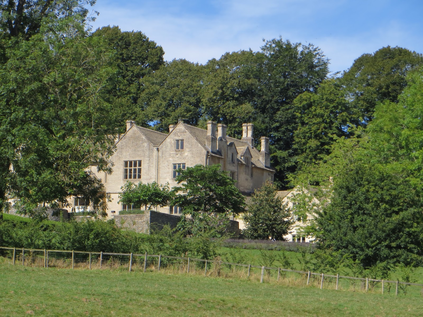 |
| Big house, Hampnett |
Hampnett was
the next village, here again a lovely example of Cotswoldness. From the map it
is clear that there are several springs here that are the source of the River
Leach, an important consequent tributary of the River Thames. The village
seemed to have big gaps between existing buildings and what appeared to be the
relics of medieval house platforms (we don’t watch Time Team for nothing you
know). Perhaps the village had been decimated in the Black Death?
 |
| Hampnett church |
Seeing the
speedy walker reminded us that it was lunchtime. “Let’s just find a spot in the shade with a view”.
Well after just over a mile we eventually stopped, not too bad, a wall to sit
on, in the shade, but a bit smelly as the adjacent field had recently been
spread with chicken muck. T checked the book and map and read the story about
the “Hangman Stone”, only we weren’t there. We had followed the Monarch’s Way
from Hampnett and not the Macmillan Way. All T’s fault, he didn’t have his
glasses on. “Well they both begin with M”. Not a problem as we could easily
link up with the correct route before reaching the village of Yanworth.
 |
| View from Yanworth towards Stowell |
On the way
into Yanworth a tractor driver (farmer) stopped and talked with us about the
route, our progress and what was on the horizon. From where we were there was a
distant view south towards the Marlborough Downs south of Swindon. “We’ve
walked over there you know”, said P, “on the Ridgeway”.
Yanworth had
the distinct look of an estate village. Later research by P c/o The Guardian,
revealed that this was all part of the Vesty Estate. (Dewhurst – The Butcher
that used to be on every British high street). Their (purchased) stately home
was the nearby Stowell Park, which we could just see as we walked out of
Yanworth. Allegedly the Vesty group and family were very skilled at reducing
their tax bill to hardly anything despite making many millions when they were
at their peak.
 |
| Valley of the Coln |
Our path took
us down to the young river Coln (another Thames tributary, the one that flows
through Bibury) and we took a rest at Yanworth Mill before following the path
through the wooded slopes of the valley to Chedworth Roman Villa. Half way
along the track there was a delightful sunny field so we crossed the small
river by a convenient bridge and had about 20 minutes relaxing, dozing, eating
some home-made energy cake bars and chatting about families and plans for the
next walk.
 |
| Sunny field near Chedworth RV |
All good
things come to an end so we moved on towards the site of the Villa. “Hang on,
where is my wallet”, said a concerned N. He jogged back. “We’ll wait”. Ok, it
was in a different pocket. Potential crisis over.
We reached
the car at 15:30 and had a good drive back to our respective homes.
A really lovely day in the Cotswolds,
good weather, good walking, good company. The logistics worked well. Has to be
“C” day, Carterton (again), Cotswold villages, cake bars and no cows! Distance
today was a more respectable 8.2 miles.


